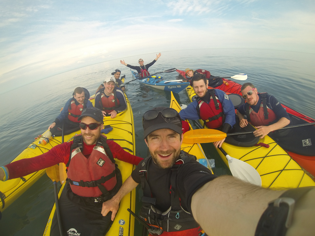
What is Sea kayaking:
Sea kayaking is the discipline of paddling across open waters. This can be done on lakes, bays and the sea. Sea kayaks are long, low and slim boats which are pointed at both ends.
Where can you do it:
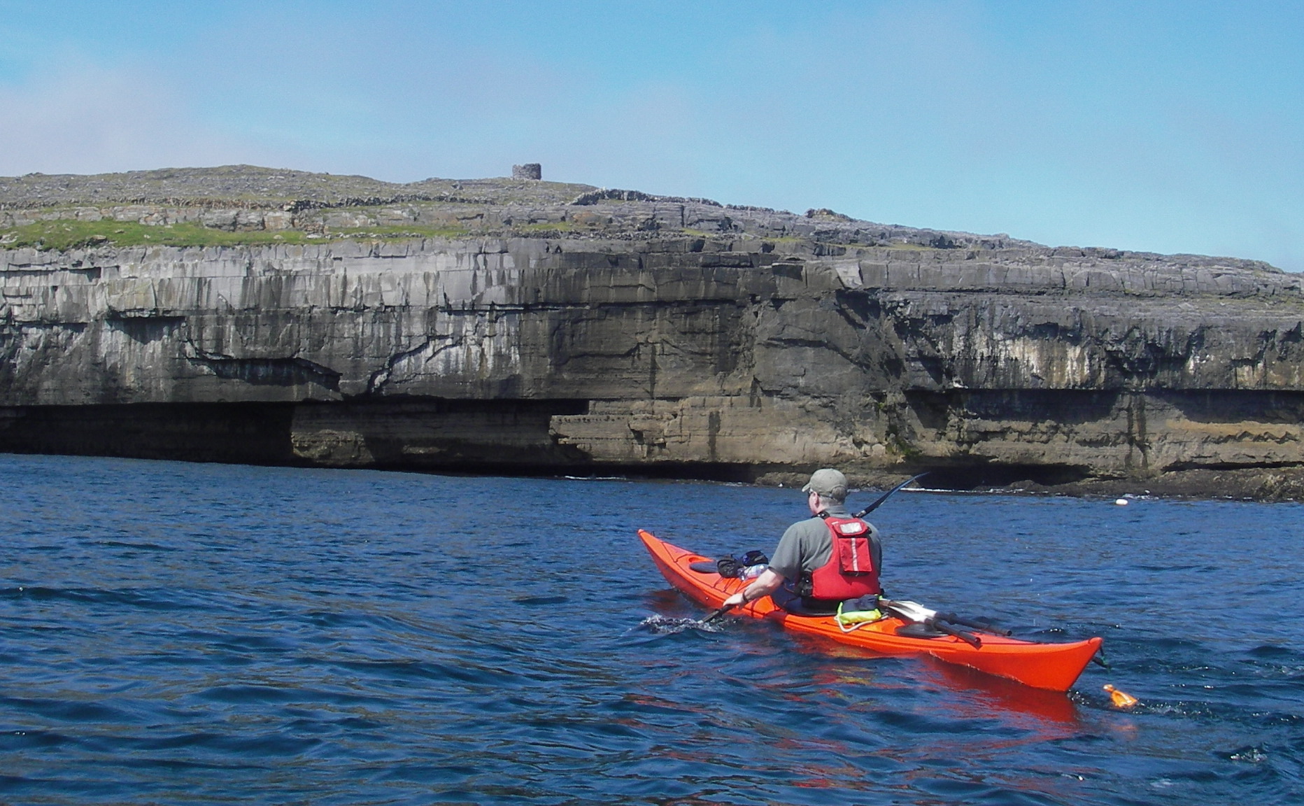
Sea kayaking is available in a multitude of different locations in Ireland. Many clubs and providers offer sea kayaking all around Ireland. Here is a helpful map we have made up so you can find the closest provider to you and a map of clubs near you.
What do you need to know to go sea kayaking?
You will need the following items of clothing:
- Wetsuit/Drysuit
- ISO Approved Helmet
- ISO Approved Buoyancy Aid
- Spraydeck
- hardsoled shoes
As with every sport, the equipment needed will vary depending on what level of skill you are at so it’s always a good idea to have a chat with your club members or instructor about what gear would be best suited for you.
Beaufort scale
The Beaufort scale is a scale of 1 to 12 which measures the speed of wind and how that affects the sea with 1 being a glassy flat sea to 12 being hold on to your hat hurricane weather with extremely rough seas. There are many websites which provide in depth explanations of the scale but we have found a few useful links for you;
- http://www.kayarchy.com/html/03thesea/003wind.htm
- http://www.ukseakayakguidebook.co.uk/understanding_forecasts/beaufort_scale.htm
- https://www.met.ie/climate/wind.asp
The Douglas Scale
The equally as important but lesser known scale that is useful for the sea kayakers is the Douglas scale or the sea state scale. This is a 1-9 descriptive scale of the sea conditions.
How to read tide charts:
Tide charts show the activity of the tides between low and high tide in the 24 hour day. For a more detailed understanding we have attached a useful video below;
What weather conditions do I need to be aware of when sea kayaking and where do I find this information?
Important weather conditions you need to be aware of while sea kayaking are wind speeds, wind direction, wave height/direction and tides.
There are many ways of gauging what the conditions will be like on your adventure, below are some helpful links to websites we like to use before getting out on the water.
Met.ie – National forecast and Rainfall radar
Ballooningireland.ie – Synoptic Charts
Magic Seaweed – Wave height and charts
Sea Crossings
A synoptic chart is a map of what the weather is doing. Displayed on the chart is information on the distribution, movements and the different patterns of the air pressure, wind, temperature and rain which is conveyed using symbols. Below is a helpful link on how to read a synoptic chart.
Wave Heights / State of Sea
The wave height is the vertical distance between the crest and the preceding or following trough. The table below gives a description of the wave system associated with a range of Significant Wave heights. The Significant wave height is defined as the average height of the highest one-third of the waves. (It is very close to the value of wave height given when making visual observations of wave height.)
| Sea State (Descriptive) | Significant Wave height (in meters) |
| Calm | 0 – 0.1 |
| Smooth(Wavelets) | 0.1 – 0.5 |
| Slight | 0.5 – 1.25 |
| Moderate | 1.25 – 2.5 |
| Rough | 2.5 – 4 |
| Very rough | 4 – 6 |
| High | 6 – 9 |
| Very high | 9 – 14 |
| Phenomenal | Over 14 |
Sea Kayak Safety Briefing
Shore Based – Trip Plan Briefing
Where to buy gear:
REFERENCES:
http://www.kayarchy.com/html/01equipment/010otherkayaks.htm